


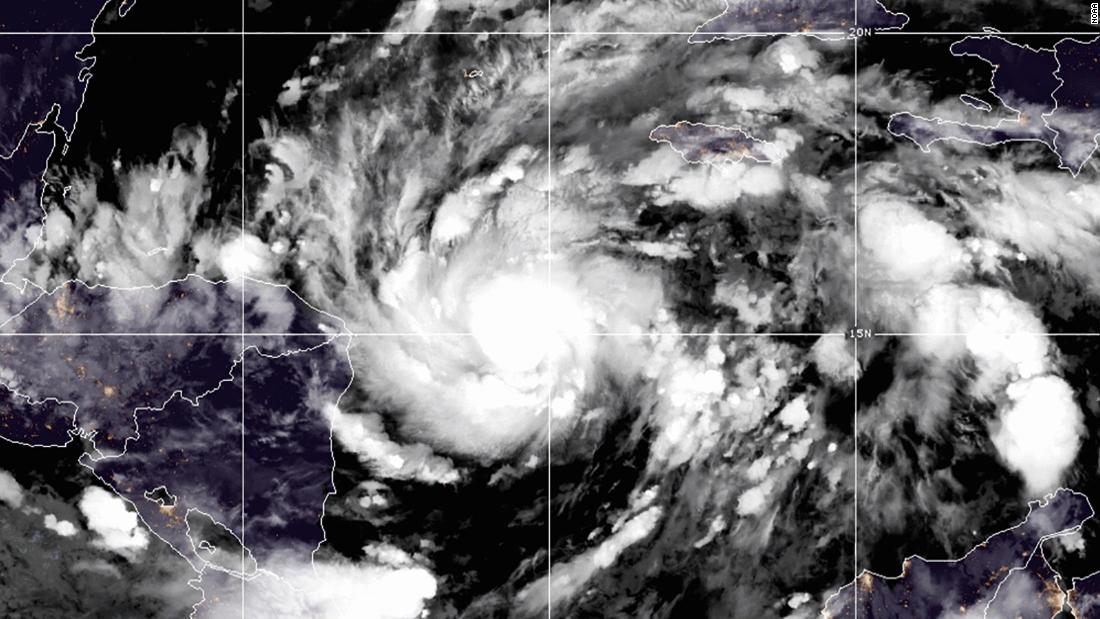
A hurricane warning is now in effect from the Honduras and Nicaragua border to Sandy Bay Sirpi, Nicaragua NHC said.
Heavy rain will result in “catastrophic, life threatening flash flooding,” as well as landslides, dangerous storm surge and damaging wings, according to the NHC.
Eta’s center is expected to approach the northeastern coast of Nicaragua Monday afternoon, and make landfall early Tuesday before moving inland over northern Nicaragua through early Wednesday, according to NHC.
“Eta is forecast to be a major hurricane when landfall occurs by early Tuesday,” NHC said.
The biggest threat from the storm will be heavy rainfall with estimates of 15 to 25 inches, and isolated amounts up to 35 inches in Nicaragua and Honduras.
Life-threatening storm surge along the Nicaraguan coastline is expected to be up to 15 feet above normal tide. Extremely strong winds will impact areas from the coast towards the mountains.
The wind and storm surge threat will diminish throughout the day on Tuesday, but the rain will last well into the week.

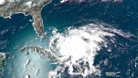
Heavy rain will spread throughout Central America, where areas from southeast Mexico down through Panama could see rain accumulations up to 25 inches.
“This rainfall would lead to catastrophic, life-threatening flash flooding and river flooding, along with landslides in areas of higher terrain of Central America,” the NHC said. “Flash flooding and river flooding would be possible across Jamaica, southeast Mexico, El Salvador, southern Haiti, and the Cayman Islands.”
The current forecast has the storm meandering the mountains of Nicaragua and Honduras before heading north towards Belize as a depression by Friday. The track and intensity of the storm remains uncertain after Friday and will be closely monitored.
The storm has the potential to be one of the worst flooding events Nicaragua has seen since Hurricane Mitch in 1998, which killed more than 10,000 people.


