


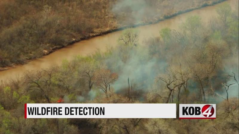
“Historically we’ve depended on aircraft, just the general public or landowners to report the wildfires, so we have another tool in the toolbox you might say,” said Donald Griego, Deputy Director of Fire for the Forestry Division.
The technology uses the GOES-16 and GOES-17 space satellites that stay over the same spot on Earth at all times and takes frequent observations of the planet. The data is downlinked to Earth and then rapidly processed.
“So one aspect of that satellite is it looks at the infrared bands and uses that infrared to determine whether or not a particular spot on the earth is hotter than usual,” said Fritz Schlereth, head of marketing at Descartes Labs.
On average, it takes about six minutes to determine the location of a hot spot, which could be the start of a new fire.
“Early detection is always helpful, you know, as a fire suppression agency, we’re always looking for quick and early containment of fires,” Griego said.


