


Yosemite National Park encompasses 1,169 square miles.
There are more than 800 miles of maintained trails with 750
miles of those in designated wilderness.
There are perhaps a dozen places where there are steel pole
fences in the park with about half of them with signs warning people not to
cross them. There are also signs along the heavily traveled Mist Trail to
Nevada Fall that warns the granite rocks between the trail and the rushing and ice-cold
Merced River are slippery and dangerous.
In a 10-year stretch ending in 2016, an average of 15 people
died each year visiting Yosemite. Most die from falls or natural such as heart
attacks while hiking or climbing. Of those a fair number of the deaths occur in
places that have posted warnings or fencing that you have to climb
around.
Given more than 4 million people a year visit Yosemite with
the overwhelming majority spending most of their time in the 7 square mile
Yosemite Valley, 15 deaths may not seem like a lot. In comparison Disneyland
averages 18 million visitors a year and while nine guests have died — all but
two from their own negligence — since it opened in 1956 none were killed during
the 10-year period ending in 2016.
What brings this up is the annual spat of summer news
stories about people getting themselves killed while enjoying the wilderness.
Virtually all the deaths have nothing to do with unprovoked grizzly bear attacks
— black bears that are in California won’t attack you unless you are incredibly
careless or stupid — or other pecking order deaths. Instead they center on
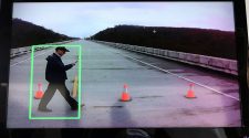
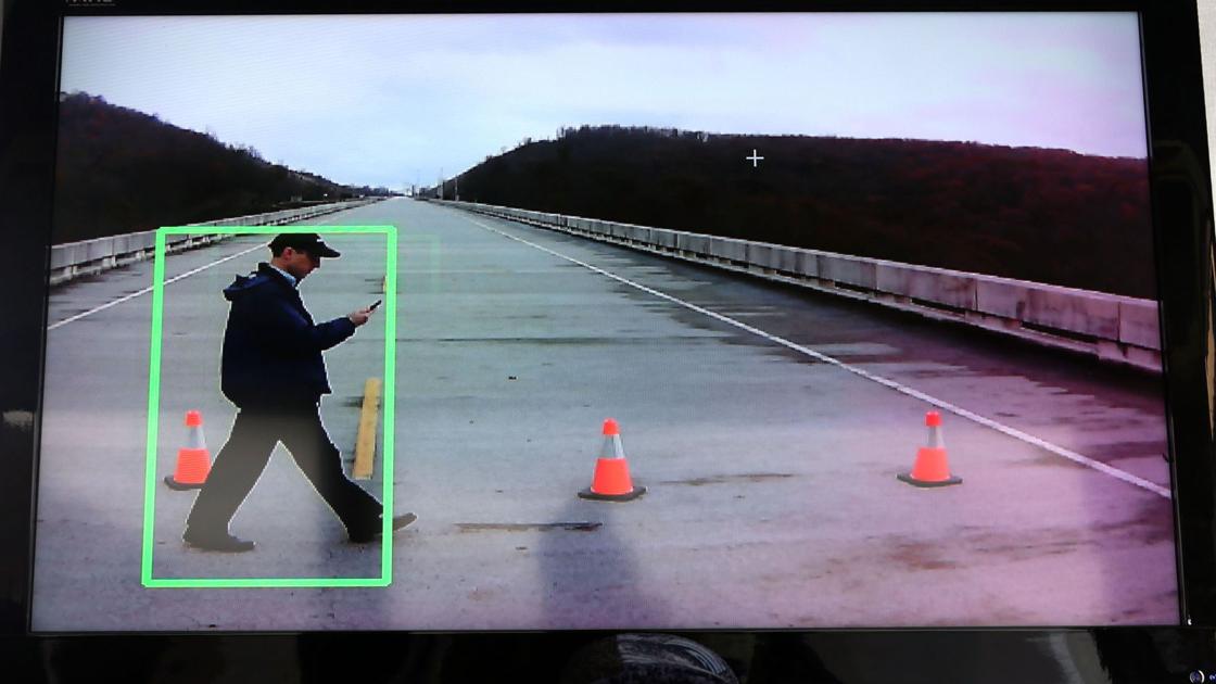
being inattentive, reliant or fixated on modern tech, acting as if you are in
Disneyland instead of the wilderness, and being either ill-prepared or not
having a sense of respect (essentially healthy fear) of the wilderness.
Desert deaths are especially perplexing. What prompts
someone to venture into the middle of nowhere with one bottle of water on
a day when the air temperature is 100 degrees and the ground temperature a good
20 to 30 degrees hotter or more. It makes as much sense as walking back and
forth across Interstate 5 at 2 o’clock on a moonless night while decked out
from head to toe in black clothing.
Whenever I hike I carry 3 liters of water using a backpack
bladder. In some cases when it is more of an extreme day hike due to mileage of
exposed terrain, I will take a couple of extra water bottles or a water
filtration kit if there are sources of water along the route. That tends to be
overkill for most of my day hikes but if something happens and I get stuck
overnight I will have water. My desert hiking in Death Valley during late fall,
winter or early spring can still push 80 to 90 degrees but I always carry
enough clothing that will allow me to survive overnight should something happen
as temperatures can plunge to 30 degrees with no wind break.
And the only time I have summer hiked in Death Valley we
started at 1 a.m. when the air temperature was 92 degrees and got back to the
car by 9:30 a.m. when the mercury was pushing 110 degrees.
Yet given the extreme summer weather the most difficult time
I’ve had in booking a room in Stovepipe Wells in Death Valley was in the
summer. That’s because casual tourists like being able to say they were in
Death Valley during the summer. Fair enough, I get the appeal. But every year
or so one of those casual tourists get killed when they step from an air
conditioned car or bus that’s at 70 or so degrees, step into the 110 degree
heat and explore areas such as the Stovepipe Wells sand dunes for 15 or so
minutes where the ground temperature may be 160 degrees and then get back in a
vehicle where the temperature is half that.
The shock to the body can trigger causes of death that are
classified as natural such as heart attacks.
The same type of things can happen in Yosemite where people
that eschew even taking walks when they are at home tackle a five-mile up and
down hike.
I’ve seen people head up the most popular trail in Yosemite
— the Mist Trail — in high heels, without water, pushing baby strollers,
wearing sandals or even barefoot. It’s a 1,000-foot gain and three-mile round
trip to Vernal Fall and a 1,900-foot gain and seven-mile round trip to Nevada
Fall via the Mist Trail.
And while it is true you can come across a few seasoned
hikers and trail runners that actually go barefoot, the key is that it isn’t
their first rodeo.
I admit that sometimes it may seem I’m overkill with what I
take on day hikes that typically are 10 miles or more round trip with a couple
thousand feet of elevation gain, but there are a more than a few people over
the years that were glad that I did.
I’ve had to clean and bandage myself up a couple of times
after slipping and falling while climbing or traversing an obstacle but
I’ve also doled out first aid supplies to others. I carry a rattlesnake bite
kit I’ve never used myself although I did use it once to help someone else remove
a wasp string.
The biggest item I share is water. And it’s not on 17-mile
round day trips to isolated high Sierra lakes as people tend to such locales
happen to know what they are dealing with. It tends to be on much shorter or
well-traveled trips.
The first real hike I ever went on 30 years ago was to Mt.
Whitney at 14,505 feet, a 22-mile day hike that involves an elevation gain of
6,100 feet. The group I was hiking with that also consisted of a number of
Scouts was ribbing me because I had stuffed what they thought was an inordinate
number of water bottles in my backpack. Yes, the weight of 22 bottles killed my
back to a degree but it was lightened a lot by the seven water bottles that
others bummed off me when they ran out.
Then there are those who place blind faith and their lives
in technology. The worst example was a Los Angeles woman and her teen daughter
five years ago that decided on the spur of the moment to head to Death Valley
specifically to explore the visitors’ center in Furnace Creek. They Googled
directions and then relied on a GPS device.
They drove right past the visitors center — which is pretty
hard to miss given the extreme lack of buildings in Death Valley — and ended up
running out of gas on a remote and extremely lightly traveled back country road
some 70 miles away that technology sent them to.
They were fortunate enough that they carried some extra
water and were smart enough to stay with their vehicle. Almost three days later
a “desert rat” happened along in his 4-wheel drive Jeep.
I use to think using Google and GPS technology exclusively
to explore the wilderness was a fluke that only a very few people did.
Then one time on a hike to Taft Point via Tunnel View in
Yosemite a couple stopped me and asked me if I knew the directions to Mt.
Hoffman. When I explained to them they were a good 20 miles away from where
they needed to be, they insisted I was wrong as they had Googled Mt. Hoffman
before they left Yosemite Valley and lost their Internet connection. I insisted
they were wrong given I had hiked Mt. Hoffman which is off Tioga Road and not
on the South Rim above the Yosemite Valley floor. They were adamant. Google
“told” them they were headed in the right general direction. With that they
continued on their merry way.
Not saying whatever they Googled was wrong but it was clear
they had no bearing as to where they were and were lost without technology to
guide them.
Hikers I know research hikes they’ve never been on, consult
maps, and may use GPS but also know how to use a compass as well to visually
mark locations especially when they are cross-country hiking in the desert.
It is amazing that there aren’t more people killed in
Yosemite acting as if they are on an outing to Disneyland. And we’re not even
tossing precarious selfies in to the mix.
The safer technology has helped the world become, the
more dangerous we make it.


