


Coral reefs make up just 1% of the ocean floor yet they are home to 25% of the world’s marine fish, a growing source of protein for people. But reefs are imperiled by a range of threats including warming waters, acidifying seas, destructive fishing methods, and agricultural and other runoff.
Moreover, scientists have only a rough idea of the extent of reefs worldwide; a reef thought to be 1,000 acres might be 1,500 or just 500. Of the reefs that have been accurately mapped, little is known about their health, the kinds of fish that live there, or the composition of coral species.
The problem is seawater. The oceans are vast, making reefs hard to pinpoint, and the water’s surface is difficult for satellite and airborne cameras to see through.
Get the news delivered to your inbox: Sign up for our morning, afternoon and evening newsletters
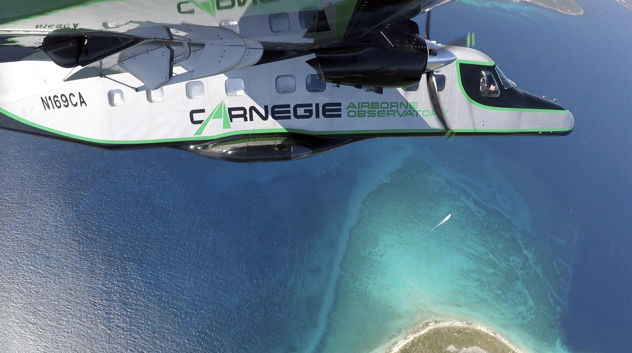
Now, a team of scientists led by Greg Asner and Robin Martin of Arizona State University has developed a suite of technologies to overcome these obstacles. The instruments are mounted on a low-flying plane and together make up the Global Airborne Observatory, which effectively can peel back the seawater and map the seafloor to a depth of 50 feet, in three dimensions. (A huge proportion of the world’s most threatened reefs are in such shallow water, because ocean-warming events mainly occur near the sea surface.)
Mapping reefs typically involves swimming with sonars or dragging them behind a boat, which makes for very slow progress. The Global Airborne Observatory can map 250,000 acres a day, at resolution of 4 centimeters.
“If their methods are good to 50 feet deep, it’s a huge advance,” said Nancy Knowlton, a marine scientist at the Smithsonian Institution’s National Museum of Natural History. “People who work on coral reefs are so hungry for anything that could help in the conservation realm.”
The maps created by Asner and Martin reveal refuges of live coral — areas where corals are persisting, to be managed and protected — and the types of seafloor habitat that will support coral nurseries and help accelerate restoration efforts.
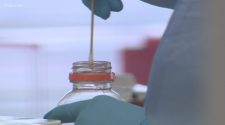
Mapping corals first requires getting close enough to touch them. Asner and Martin dive to collect samples and later, back in the lab, determine how the corals’ chemical makeup corresponds to their spectral signatures.
Next, the team searches for those spectra from, on average, several thousand feet overhead. Cameras detect colors outside the range of human vision that correspond to the chemistry of the corals. As the chemistry changes with the corals’ health, the cameras pick it up. Bleaching, which can lead to death, is precipitated by a change in the chemistry that the cameras can see before the bleaching begins to take place. With this knowledge, interventions can be planned and reefs can be managed.
In their forest work, Asner and Martin have discovered the spectral signatures of 30,000 tree species, almost half the world total. Now they are about 6% of the way toward building a spectral-chemical library for all 830 known species of coral.
“I’m after conservation applications that have real efficacy,” Asner said. “We have plenty of journal papers. We’re pushing the scientific community to make their work much more solutions-based, instead of a latency period where things are being researched forever.”


